
 Contacto
 Cómo comprar
Entrega
Guía de compras
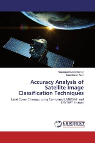
Accuracy Analysis of Satellite Image Classification Techniques
Land Cover Changes using Combined LANDSAT and ENVISAT Images
 Inglés
 120 b
120 b
Hasta 30 días para devoluciones
Clientes que también han comprado

 /
/
 Tapa blanda
 48.29
€
48.29
€











 /
Tapa blanda
15.19
€
/
Tapa blanda
15.19
€


 /
Tapa blanda
33.79
€
/
Tapa blanda
33.79
€
 /
Tapa blanda
12.69
€
/
Tapa blanda
12.69
€
 /
Tapa blanda
12.99
€
/
Tapa blanda
12.99
€




Recent monsoon failures and reduced rain falls urge the environmental and ecology researchers to concentrate on the land cover changes. Significant and efficient way to monitor the land cover changes is satellite image classification. Classification of land cover changes of the study area are identified as used land, unused land, forest and vegetation. Using different kinds of remote sensing data like LANDSAT and ENVISAT, is an important research area for improving the classification performance. This work describes the combination of remotely sensed data, LANDSAT and ENVISAT images, to improve the classification accuracy. Classification algorithms KNN (K-Nearest Neighborhood) and SVM (Support Vector Machine) are tested for the accuracy and KNN in Embedding Space (KNNES) and SVM in Embedding Space (SVMES) are proposed and tested for the improved accuracy. Accuracy is quantified by reporting standard errors i.e., producer accuracy, user accuracy, omission error and commission error.


Sobre el libro
Inglés

Regale este libro hoy
Es fácil
1 Añadir al carrito y elegir Entregar como regalo en el checkout 2 Le enviaremos un vale 3 El libro llegará a la dirección del destinatarioTambién puede interesarle


 /
Tapa dura
252.29
€
/
Tapa dura
252.29
€
















 /
Tapa blanda
29.19
€
/
Tapa blanda
29.19
€







¡Hola! Soy Libroamiko, tu asesor de libros.
¿Cómo puedo ayudarte?