
 Contacto
 Cómo comprar

Entrega
Guía de compras
Analysing urban evolution using remote sensing techniques
 Inglés
 96 b
Hasta 30 días para devoluciones
Clientes que también han comprado





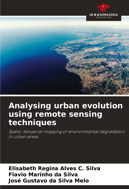
Due to the intense urban growth of cities, green areas and water bodies are increasingly susceptible to environmental degradation. In this sense, there has been growing concern about ways to control and mitigate environmental degradation, which requires prior planning of land use. A survey of current land use, which is necessary for planning purposes, can be obtained using multispectral data provided by remote sensing satellites. The aim of this study was to carry out a spatio-temporal analysis of the Olho D'água Lagoon, the main natural coastal lagoon in the state of Pernambuco, based on products obtained through remote sensing. Two biophysical variables were used in the evaluation: NDVI, to assess the chlorophyll content of the vegetation, and SAVI, to identify areas of degradation in the area. The study showed that vegetation with a high chlorophyll content has decreased considerably due to urban densification in recent decades. The NDVI result was corroborated by the SAVI results, which indicated an increase in degradation in the area.


Sobre el libro
Inglés

Regale este libro hoy
Es fácil
1 Añadir al carrito y elegir Entregar como regalo en el checkout 2 Le enviaremos un vale 3 El libro llegará a la dirección del destinatarioTambién puede interesarle









 /
 Tapa dura
 582.53
€



 /
Tapa dura
309.99
€

¡Hola! Soy Libroamiko, tu asesor de libros.
¿Cómo puedo ayudarte?