
 Contacto
 Cómo comprar
Entrega
Guía de compras
Historical Land Use/Land Cover Classification Using Remote Sensing
A Case Study of the Euphrates River Basin in Syria
 Inglés
 139 b
139 b
Hasta 30 días para devoluciones
Clientes que también han comprado

 /
/
 Tapa dura
 15.79
€
15.79
€




















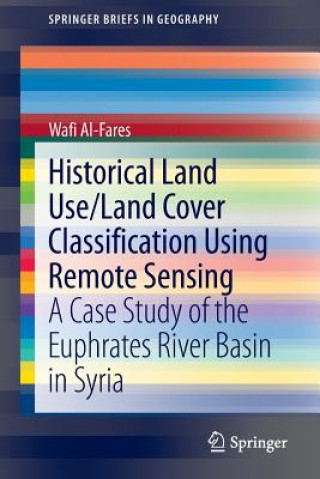
Although the development of remote sensing techniques focuses greatly on construction of new sensors with higher spatial and spectral resolution, it is advisable to also use data of older sensors (especially, the LANDSAT-mission) when the historical mapping of land use/land cover and monitoring of their dynamics are needed. Using data from LANDSAT missions as well as from Terra (ASTER) Sensors, the authors shows in his book maps of historical land cover changes with a focus on agricultural irrigation projects.§The kernel of this study was whether, how and to what extent applying the various remotely sensed data that were used here, would be an effective approach to classify the historical and current land use/land cover, to monitor the dynamics of land use/land cover during the last four decades, to map the development of the irrigation areas, and to classify the major strategic winter- and summer-irrigated agricultural crops in the study area of the Euphrates River Basin.


Sobre el libro
Inglés

Regale este libro hoy
Es fácil
1 Añadir al carrito y elegir Entregar como regalo en el checkout 2 Le enviaremos un vale 3 El libro llegará a la dirección del destinatarioTambién puede interesarle






 /
Tapa blanda
14.99
€
/
Tapa blanda
14.99
€
















¡Hola! Soy Libroamiko, tu asesor de libros.
¿Cómo puedo ayudarte?