 Contacto
 Cómo comprar
Entrega
Guía de compras
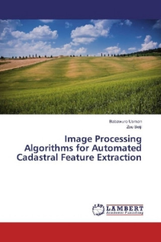
Image Processing Algorithms for Automated Cadastral Feature Extraction
 Inglés
 80 b
80 b
Hasta 30 días para devoluciones
Clientes que también han comprado


 /
/
 Tapa dura
 32.79
€
32.79
€


 /
Tapa dura
50.59
€
/
Tapa dura
50.59
€
 /
Tapa dura
26.99
€
/
Tapa dura
26.99
€


 /
Tapa blanda
49.29
€
/
Tapa blanda
49.29
€
 /
Tapa dura
42.69
€
/
Tapa dura
42.69
€

 /
Tapa blanda
11.69
€
/
Tapa blanda
11.69
€


 /
Tapa blanda
26.39
€
/
Tapa blanda
26.39
€

 /
Tapa blanda
20.99
€
/
Tapa blanda
20.99
€

 /
Tapa blanda
47.39
€
/
Tapa blanda
47.39
€

Computer vision and Image processing paradigms deal with edges and forms. Specifically edges are points where there is a boundary between two image regions. Visually, they form the outline of a feature. An edge is the boundary between a feature and its background. Technically, if edges of features are algorithmically identified and detected accurately, then all features could be located and their basic geometric properties could be determined. Similarly, these edges and forms of features are part and parcel of Cadastral Surveying and they are used to obtain the geometric values of the features, hence delineating and mapping cadastral features for the production of Cadastral plans using field oriented Surveying.Besides cadastral plans, high resolution satellite imageries have potential cadastral values as they are used to depict cadastral features. In computer vision they are used to extract linear features. The extraction of linear features or boundaries defining the extents of lands, land covers or other topographic features are very important and useful in Cadastral Surveying.The aims are to employ the concepts of computer vision using Satellite imagery to extract features.


Sobre el libro
Inglés

Regale este libro hoy
Es fácil
1 Añadir al carrito y elegir Entregar como regalo en el checkout 2 Le enviaremos un vale 3 El libro llegará a la dirección del destinatarioTambién puede interesarle


¡Hola! Soy Libroamiko, tu asesor de libros.
¿Cómo puedo ayudarte?