
 Contacto
 Cómo comprar
Entrega
Guía de compras
Pattern-Based Compression of Multi-Band Image Data for Landscape Analysis
 Inglés
 290 b
290 b
Hasta 30 días para devoluciones
Clientes que también han comprado


 /
/
 Tapa dura
 71.49
€
71.49
€



 /
Tapa blanda
11.59
€
/
Tapa blanda
11.59
€


 /
Tapa blanda
145.39
€
/
Tapa blanda
145.39
€

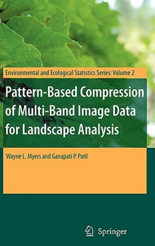
This book describes an integrated approach to using remotely sensed data in conjunction with geographic information systems for landscape analysis. Remotely sensed data are compressed into an analytical image-map that is compatible with the most popular geographic information systems as well as freeware viewers. The approach is most effective for landscapes that exhibit a pronounced mosaic pattern of land cover. The image maps are much more compact than the original remotely sensed data, which enhances utility on the internet. As value-added products, distribution of image-maps is not affected by copyrights on original multi-band image data.


Sobre el libro
Inglés
Categorías

Regale este libro hoy
Es fácil
1 Añadir al carrito y elegir Entregar como regalo en el checkout 2 Le enviaremos un vale 3 El libro llegará a la dirección del destinatarioTambién puede interesarle



















¡Hola! Soy Libroamiko, tu asesor de libros.
¿Cómo puedo ayudarte?