 Contacto
 Cómo comprar
Entrega
Guía de compras
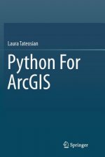
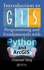
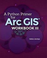
Python For ArcGIS
 Inglés
 325 b
325 b
Hasta 30 días para devoluciones
Clientes que también han comprado


 /
/
 Tapa blanda
 92.49
€
92.49
€


This book introduces Python scripting for geographic information science (GIS) workflow optimization using ArcGIS. It builds essential programming skills for automating GIS analysis. Over 200 sample Python scripts and 175 classroom-tested exercises reinforce the learning objectives. Readers will learn to: - Write and run Python in the ArcGIS Python Window, the PythonWin IDE, and the PyScripter IDE - Work with Python syntax and data types - Call ArcToolbox tools, batch process GIS datasets, and manipulate map documents using the arcpy package - Read and modify proprietary and ASCII text GIS data - Parse HTML web pages and KML datasets - Create Web pages and fetch GIS data from Web sources. - Build user-interfaces with the native Python file dialog toolkit or the ArcGIS Script tools and PyToolboxes Python for ArcGIS is designed as a primary textbook for advanced-level students in GIS. Researchers, government specialists and professionals working in GIS will also find this book useful as a reference.


Sobre el libro
Inglés
Categorías

Regale este libro hoy
Es fácil
1 Añadir al carrito y elegir Entregar como regalo en el checkout 2 Le enviaremos un vale 3 El libro llegará a la dirección del destinatarioTambién puede interesarle
 /
Tapa dura
131.19
€
/
Tapa dura
131.19
€


 /
Tapa blanda
112.79
€
/
Tapa blanda
112.79
€
 /
Tapa dura
151.59
€
/
Tapa dura
151.59
€


 /
Tapa blanda
170.39
€
/
Tapa blanda
170.39
€


¡Hola! Soy Libroamiko, tu asesor de libros.
¿Cómo puedo ayudarte?