Contacto
 Cómo comprar
Entrega
Guía de compras
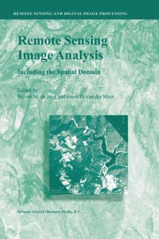
Remote Sensing Image Analysis: Including the Spatial Domain
 Inglés
 276 b
276 b
Hasta 30 días para devoluciones
Clientes que también han comprado


 Tapa blanda
 12.89
€
12.89
€


 /
Tapa blanda
21.69
€
/
Tapa blanda
21.69
€


 /
Tapa blanda
15.19
€
/
Tapa blanda
15.19
€

 /
Tapa blanda
29.19
€
/
Tapa blanda
29.19
€
 /
Tapa blanda
47.29
€
/
Tapa blanda
47.29
€
 /
Tapa blanda
47.29
€
/
Tapa blanda
47.29
€

 /
Tapa blanda
29.59
€
/
Tapa blanda
29.59
€

 /
Tapa blanda
37.49
€
/
Tapa blanda
37.49
€

 /
Tapa blanda
16.09
€
/
Tapa blanda
16.09
€


 /
Tapa blanda
71.19
€
/
Tapa blanda
71.19
€
Remote Sensing image analysis is mostly done using only spectral information on a pixel by pixel basis. Information captured in neighbouring cells, or information about patterns surrounding the pixel of interest often provides useful supplementary information. This book presents a wide range of innovative and advanced image processing methods for including spatial information, captured by neighbouring pixels in remotely sensed images, to improve image interpretation or image classification. Presented methods include different types of variogram analysis, various methods for texture quantification, smart kernel operators, pattern recognition techniques, image segmentation methods, sub-pixel methods, wavelets and advanced spectral mixture analysis techniques. Apart from explaining the working methods in detail a wide range of applications is presented covering land cover and land use mapping, environmental applications such as heavy metal pollution, urban mapping and geological applications to detect hydrocarbon seeps. §The book is meant for professionals, PhD students and graduates who use remote sensing image analysis, image interpretation and image classification in their work related to disciplines such as geography, geology, botany, ecology, forestry, cartography, soil science, engineering and urban and regional planning.§


Sobre el libro
Inglés
Categorías

Regale este libro hoy
Es fácil
1 Añadir al carrito y elegir Entregar como regalo en el checkout 2 Le enviaremos un vale 3 El libro llegará a la dirección del destinatarioTambién puede interesarle

 /
Tapa dura
42.59
€
/
Tapa dura
42.59
€


 /
Tapa dura
62.19
€
/
Tapa dura
62.19
€


 /
Tapa blanda
16.29
€
/
Tapa blanda
16.29
€