
 Contacto
 Cómo comprar
Entrega
Guía de compras
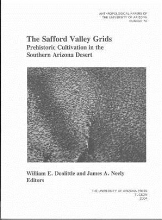
SAFFORD VALLEY GRIDS
 Inglés
 86 b
86 b
Hasta 30 días para devoluciones
Clientes que también han comprado
















Crisscrossing Pleistocene terrace tops and overlooking the Gila River in southeastern Arizona are acres and acres of rock alignments that have perplexed archaeologists for a century. Well known but poorly understood, these features have long been considered agricultural, but exactly what was cultivated, how, and why remained a mystery. Now we know. Drawing on the talents of a team of scholars representing various disciplines, including geology, soil science, remote sensing, geographical information sciences (GISc), hydrology, botany, palynology, and archaeology, the editors of this volume explain when and why the grids were built. Between A.D. 750 and 1385, people gathered rocks from the tops of the terraces and rearranged the in grids of varying size and shape, averaging about 4 meters to 5 meters square. The grids captured rainfall and water accumulated under the rocks forming the grids. Agave was planted among the rocks, providing a dietary supplement to the maize and beans that were irrigated on the nearby bottom land, a survival crop when the staple crops failed, and possibly a trade commodity when yields were high. Stunning photographs by Adriel Heisey convey the vastness of the grids across the landscape.


Sobre el libro
Inglés

Regale este libro hoy
Es fácil
1 Añadir al carrito y elegir Entregar como regalo en el checkout 2 Le enviaremos un vale 3 El libro llegará a la dirección del destinatarioTambién puede interesarle











 /
/
 Tapa blanda
 22.69
€
22.69
€




¡Hola! Soy Libroamiko, tu asesor de libros.
¿Cómo puedo ayudarte?